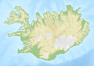
Lagarfoss
| Lagarfoss | ||
|---|---|---|
| Coordinates | 65 ° 30 '9.9 " N , 14 ° 21' 47.7" W | |
|
|
||
| place | Egilsstaðir , Iceland | |
| height | 10 m | |
| width | 60 m | |
| flow | Lagarfljót | |
The Lagarfoss is a waterfall of the Lagarfljót in the east of Iceland .
It is located 27 km north of Egilsstaðir on Lagarfossvegur, road 944. This is the connecting road between Hróarstungavegur , road 925, and Borgarfjarðarvegur ![]() to Bakkagerði . Over a length of 500 meters, the water flows 10 meters downstream, more like a rapids.
to Bakkagerði . Over a length of 500 meters, the water flows 10 meters downstream, more like a rapids.
Lagarfossvirkjun
In 1974 a hydropower plant with an installed capacity of 8 MW was built here. It is used for local energy supply. The waterfall was often gone as a result. The power plant was expanded by 20 MW in 2007. Since the commissioning of the Kárahnjúkar power plant in 2007, when additional water is fed into the Lagarfljót, the waterfall has been visible again.
