Lake Huntley
| Lake Huntley | ||
|---|---|---|
| Geographical location | Tasmania ( Australia ) | |
| Tributaries | various, small streams | |
| Drain | Anthony River | |
| Location close to the shore | Queenstown , Rosebery | |
| Data | ||
| Coordinates | 41 ° 56 '22 " S , 145 ° 36' 37" E | |
|
|
||
| Altitude above sea level | 719 m | |
| surface | 47 ha | |
| length | 950 m | |
| width | 600 m | |
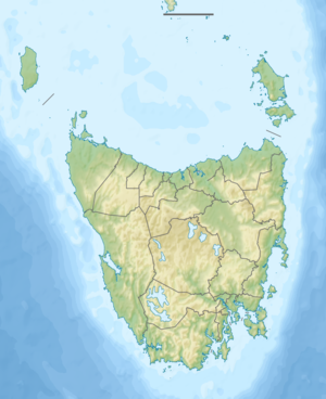
The Lake Huntley is a lake in the northwest of the Australian state of Tasmania , about 24 km south-southeast of Rosebery and about 16 km north-northeast Queenstown .
The Anthony River rises in the lake, which lies in the Tyndall Range west of the Cradle Mountain Lake St. Clair National Park .
literature
- Steve Parish: Australian Touring Atlas . Steve Parish Publishing. Archerfield QLD 2007. ISBN 978-1-74193-232-4 . P. 60
