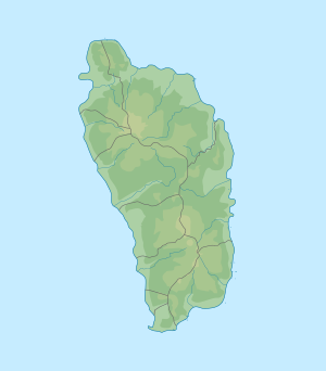
Lake Matthieu
| Lake Matthieu | ||
|---|---|---|
| Geographical location | Saint Joseph , Dominica | |
| Tributaries | Layou River , Matthieu River | |
| Drain | by the Layou River | |
| Data | ||
| Coordinates | 15 ° 25 ′ 29 " N , 61 ° 22 ′ 41" W | |
|
|
||
| Altitude above sea level | 160 m | |
| Maximum depth | 43 m | |
The Lake Matthieu or Miracle Lake was a naturally arising reservoir on the Layou River , 6 kilometers east of the estuary at Layou in Dominica . It existed from 1997 to 2011. It was at an altitude of 160 meters above sea level. On July 28, 2011, the dam broke and the lake ran dry.
history
In the hinterland of Dominica, large areas consist of tufa and volcanic ash. In one of these areas, in the valley of the Matthieu River , landslides have repeatedly occurred. There have been records of this since 1988. Major landslides occurred in 1995, and a landslide on November 18, 1997 first blocked the valley of the Layou River, forming a reservoir that reached a height of approximately 20 m (60 ft ) before breaking again on November 21 and approximately 1,135 .000 m³ of water poured into the valley. On November 25th, an even bigger landslide occurred in which the Layou River valley was finally dammed. This dam, which had reached a height of approximately 60 m (200 ft), broke again on November 28th, but then filled up again, creating Lake Matthieu. The lake became a tourist attraction. The dam broke again on July 28, 2011 and the lake ran dry except for a few pools. It lasted 13 years, 8 months and 3 days.
When the dam broke, the 16 meter long middle section of the Gleau Chand Bridge was destroyed. Since there was good surveillance, no one was injured by the escaping water, only various agricultural areas were damaged, but the beach at Layou was enlarged.
geography
The dam was created just below the confluence of the Layou River and the Matthieu River, from which it was also fed. It reached a depth of 140 ft (43 m) and held about 350 million. gallons (~ 1.135 mio m³) of water.
Individual evidence
- ^ Public Seismic Network Inc. 1998.
- ↑ sun dominica 2014.
literature
- United States Forest Service, Clovis: The Formation and Persistence of Matthieu Landslide-Dam Lake, Dominica WI . In: Q. Ashton Acton: Issues in Global Environment: Biology and Geoscience : 2011 Edition, vol. 16, 2: 73-89. ScholarlyEditions 2012. ISBN 1464965765 , 9781464965760
- Arlington James, Jerome V. De Graf: The draining of Matthieu landslide-dam lake, Dominica, West Indies. In: Landslides - Journal of the International Consortium on Landslides. December 2012, Vol. 9, 4: 529-537.
- Paul Crask: Dominica. [1] Bradt Travel Guides, 2016, ISBN 978-1-84162-217-0 , p. VI.
Web links
- dominicanewsonline.com 2010.
- Risky Ground. Newsletter for the Center of Natural Hazards, Simon Fraser University 2011.
- dominicavibes.dm 2011.
- Public Seismic Network Inc. Landslides in Dominica. (1998)
- dominica-weekly.com 2010.
- sundominica.com 2014.
- tropicallytied.blogspot.com 2010.
