Langley (Virginia)
| Langley | ||
|---|---|---|
 Langley High School |
||
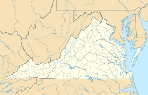
| Location in Virginia | ||
|
|
||
| Basic data | ||
| State : | United States | |
| State : | Virginia | |
| County : | Fairfax County | |
| Coordinates : | 38 ° 57 ′ N , 77 ° 10 ′ W | |
| Time zone : | Eastern ( UTC − 5 / −4 ) | |
| Postal code : | 22101 | |
| GNIS ID : | 1495816 | |
Langley is a town in the parish of Fairfax County . It is part of the Census-designated place McLean (Virginia) .
The place was merged with Lewinsville in 1910 , but still has its own high school. These days, Langley is little more than a suburb of Washington, DC
The place is known as the seat of the CIA , the US foreign intelligence service, which is why the name is used metonymically for CIA .
Also located in Langley is the Turner-Fairbank Highway Research Center , a research institute of the US Road Traffic Administration, and the Claude Moore Colonial Farm , a privately operated landscape park of the US National Park Administration .
