Mahad
| Mahad | ||
|---|---|---|
| location | ||
|
|
||
| Coordinates | 36 ° 39 ′ N , 43 ° 25 ′ E | |
| Country |
|
|
| Governorate | Ninawa | |
| District | Sheikhan | |
| Basic data | ||
| height | 374 m | |
| Residents | 3,500 (estimated) | |
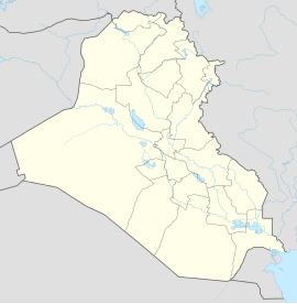
Mahad (also Mahat , Arabic مهد) is a Yazidi village in northern Iraq . The village is located 9 km southeast of Ain Sifni (Shekhan) in the Sheikhan district in the Ninawa governorate . The place is located in the Nineveh Plain and is one of the disputed areas of Northern Iraq .
population
To the population Mahads mainly include Yazidis .
history
The village was probably founded between 1975 and 1988. At that time, systematic expulsions and forced relocations took place in Iraqi cities and villages, such as Shekhan, which was renamed " Ain Sifni ". There the Iraqi government deported Yazidi families to Mahad. In return, Kurds and Arabs were settled in Ain Sifni (Shekhan).
See also
Individual evidence
- ↑ a b Irene Dulz: The Yezidi in Iraq: between "model village" and escape . LIT Verlag Münster, 2001, ISBN 978-3-8258-5704-2 ( google.de [accessed on December 2, 2018]).
- ^ Paul S. Rowe: Routledge Handbook of Minorities in the Middle East . Routledge, 2018, ISBN 978-1-317-23378-7 ( google.de [accessed December 2, 2018]).
