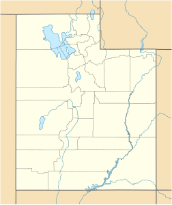
Maidenwater Canyon
| Maidenwater Canyon | ||
|---|---|---|
| location | Utah (USA) | |
| Waters | Maidenwater | |
| Mountains | Henry Mountains | |
| Geographical location | 37 ° 53 '55 " N , 110 ° 33' 36" W | |
|
|
||
| length | 6.5 km | |
The Maiden Water Canyon is a 6.5 kilometer long slot canyon in the State of Utah in the vicinity of Lake Powell . It drains the eastern slopes of Mount Pennell and Mount Hillers in the southern Henry Mountains and flows into Trachyte Creek .
The upper part of the canyon divides into two main strands, which have dug deep into the Navajo sandstone . Some narrow and steep passages can only be fully explored with ropes. It is considered the most beautiful of the many side canyons of Trachyte Creek.
