Mangrove Bay
| Mangrove Bay | ||
|---|---|---|
| Waters | Scambridge Gulf , Pentecost River | |
| Land mass | Australia | |
| Geographical location | 15 ° 9 ′ 2 ″ S , 128 ° 5 ′ 8 ″ O | |
|
|
||
| width | 4.5 km | |
| depth | 700 m | |
| Coastline | 4.8 km | |
| Islands | Saville Island | |
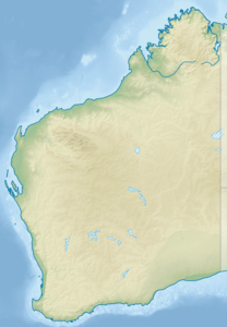
Mangrove Bay is a bay in the Pentecost River in the Scambridge Gulf in the Australian state of Western Australia .
Mangrove Bay is 4.5 kilometers wide and 700 meters deep. The coastline is 4.8 kilometers. Saville Island lies in front of the bay .
Individual evidence
- ↑ Mangrove Bay Mapcarta.com (English). Last accessed on October 6, 2017
