
Mborokua
| Mborokua | ||
|---|---|---|
.jpg) |
||
| Waters | Solomon Lake | |
| Archipelago | Solomon Islands | |
| Geographical location | 9 ° 1 '12 " S , 158 ° 44' 24" E | |
|
||
| length | 2.9 km | |
| width | 2.4 km | |
| surface | 4.72 km² | |
| Highest elevation | 360 m | |
| Residents | uninhabited | |

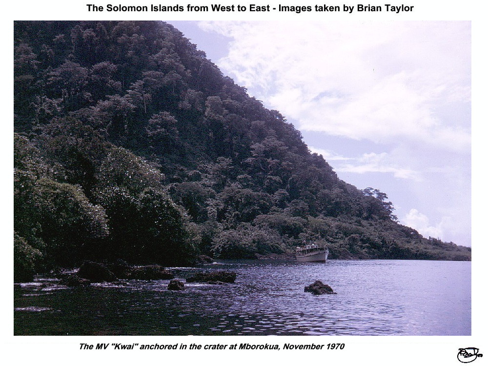
Mborokua , formerly also called Mary Island , is a small island in the western province of the island state of the Solomon Islands . It is a volcanic island with a caldera that is open to the south and forms a bay.
It is located about 30 km west of the nearest, already the central province belonging Russell Islands and 60 km east-southeast of New Georgia archipelago that forms the main part of the Western Province. Mborokua has an area of almost five square kilometers and is uninhabited and completely forested . The island is occasionally visited by fishermen from the neighboring islands and by diving tourists.
Web links
- Mborokua (oblique aerial view from the north)
- In the Mborokua crater