
Miyar glacier
| Miyar glacier | ||
|---|---|---|
| location | Himachal Pradesh ( India ) | |
| Mountains | Western Himalayas | |
| Type | Valley glacier | |
| length | 24 km | |
| Exposure | south | |
| Altitude range | 5400 m - 4000 m | |
| Coordinates | 33 ° 8 ' N , 76 ° 46' E | |
|
||
| drainage | Miyar Nala → Chanab | |

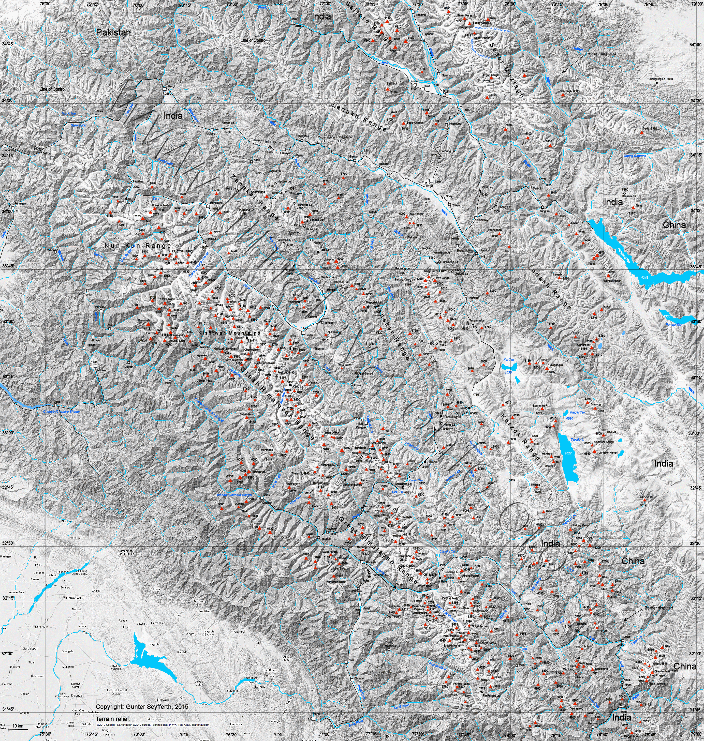
The Miyar Glacier is located in the Lahaul and Spiti district in the Indian state of Himachal Pradesh .
The 24 km long glacier flows south through the western Himalayas . The Miyar Glacier feeds the Miyar Nala , a right tributary of the Chanab , which flows into it near the town of Udaipur . The 5450 m high Kang La mountain pass forms a transition to the north into the Tsarap river valley .
Web links
- Map at himalaya-info.org