Mount Gabi
| Mount Gabi | ||
|---|---|---|
|
Mount Gabi in a digital elevation model of the sea floor |
||
| location | Australia | |
| Coordinates | 35 ° 15 ′ 0 ″ S , 115 ° 7 ′ 0 ″ E | |
|
|
||
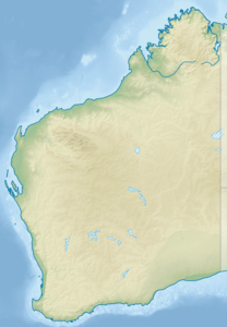
Mount Gabi is an underwater mountain (English: sea mount ) that was discovered in April 2006 by oceanographers at the University of Western Australia in Perth when mapping the shelf off the southwest coast of Australia . The mountain is about 50 km off the coast near the upper end of the underwater Leeuwin Canyon.
The discovery was purely by chance. The actual purpose of the research mission was to study the Leeuwin Current, a sea current in the Indian Ocean. Since the fresh water supplies on board the research vessel “Southern Surveyor” were running low, the ship's machines had to generate additional electricity for the water treatment systems. In order not to use the fuel exclusively for power generation, the ship deviated from the planned route at short notice. Meanwhile , the research group, led by Professor Charitha Pattiaratchi , carried out a sonar scan of the sea floor and discovered the previously unknown underwater mountain . It was named after the professor's wife, who came from Germany.
source
- Survey detour discovers underwater mountain . Report on Australia Geoscience dated May 31, 2006 (accessed January 8, 2014)
Web link
- Ayers Rock twin discovered. Post about Mount Gabi on a blog with an archaeological focus, with additional images of the mountain and the sea floor relief around the upper end of the Leeuwin Canyon

