Muro da Prega
| Muro da Prega also: Barrage de Pisões |
|||
|---|---|---|---|
|
|||
|
|
|||
| Coordinates | 37 ° 59 '55 " N , 7 ° 56' 55" W | ||
| Data on the structure | |||
| Height of the barrier structure : | Approx. 5 m | ||
| Crown length: | 62 m | ||
| Base width: | 6 m | ||
| Data on the reservoir | |||
| Water surface | Approx. 8500 m² | ||
| Reservoir length | Approx. 130 m | ||
| Storage space | Approx. 6200 m³ | ||
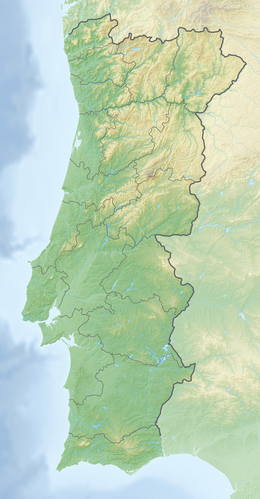
The Roman dam Muro da Prega - also Barrage de Pisões - is located in the middle of fields, about seven kilometers west of Beja in Portugal . Green vegetation shows the course of the brook that now flows past the dam , which was destroyed on one side .
The dam wall, which is over 6.0 m thick, consists of individual wall sections built close together and built in layers. The almost straight wall, made of greeting masonry and large blocks, is around 62.0 m long. On the air side it is reinforced by pillars , five of which have been preserved. Presumably in the area of the former water passage, the air-side wall has slipped over a length of about 10 m. A thin wall shell remained on the water side. The bulwark is preserved in places up to a height of four meters.
Considerations for the highest possible water retention result in a wall height of around five meters, a reservoir length of around 130 m, a water surface of around 8500 m² and a storage volume of around 6200 m³. In addition to the irrigation of the fields, the provision of the Villa von Pisões - a Roman villa in the immediate vicinity - as well as an ancient canal lock come into question as a destination for the dam . Traces of both were found around two kilometers away from the dam.
See also
Individual evidence
- ↑ Thomas G. Schattner (ed.): Archaeological guide through Portugal (= cultural history of the ancient world . Vol. 74). Philipp von Zabern, Mainz 1998, ISBN 3-8053-2313-1 , p. 182.
Web links
literature
- António de Carvalho Quintela, João Luís Cardoso, José Manuel Mascarenhas: Aproveitamentos hidráulicos romanos a sul do Tejo. Contribuição para a sua inventariação e caracterização . Ministério do Plano e da Administração do Território, Lisbon 1986, pp. 75ff.
