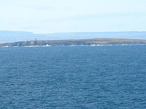
Mutton Island (Clare)
| Mutton Island Oileán Caorach |
||
|---|---|---|
| Waters | Atlantic Ocean | |
| Geographical location | 52 ° 48 '44 " N , 9 ° 31' 18" W | |
|
|
||
| length | 2 km | |
| width | 700 m | |
| surface | 74 ha | |
| Highest elevation | 33 m | |
Mutton Island ( Irish Oileán Caorach ) is located off the west coast of County Clare in Ireland , about 16 km south of the Cliffs of Moher in the Atlantic .
The approximately 74-hectare island rises two kilometers in length from sea level in the east to a height of about 33 meters in the west. There is an observation tower there. The island is covered with pastureland, has a freshwater lake and some drinking water wells. In the east of the island there are ruins of old residential buildings, a former cemetery, the ruins of a chapel and numerous stone walls.
In 1215 the Normans transferred the island to Donnchad Ua Lonngargáin I (Donatus or Dionysius) the Archbishop of Cashel . Mutton Island got its current name in 1588 when a ship of the Spanish Armada was shipwrecked and some sheep were rescued on the shore. In the 17th and 18th centuries, the island was used to smuggle wine and tobacco. During this time it belonged to Sir Edward O'Brien of Drumoland. The Coast Guard later built a telegraph tower and a residential tower. Today the island, which was once inhabited by twelve families, is up for sale.
1.5 miles from Milltown Malbay and a little further from the island, Spanish Point was named after the Spaniards who died here in 1588 when ships of the Spanish Armada were destroyed in a storm. Those who landed on the mainland were executed by Sir Turlough O'Brien and Boethius Clancy, High Sheriff of Clare.

