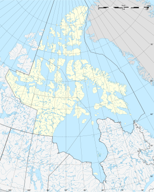
Napaktulik Lake
| Napaktulik Lake | ||
|---|---|---|

|
||
| Map of Napaktulik Lake | ||
| Geographical location | Nunavut (Canada) | |
| Drain | Fairy Lake River → Coppermine River | |
| Data | ||
| Coordinates | 66 ° 20 ′ N , 113 ° 0 ′ W | |
|
|
||
| Altitude above sea level | 381 m | |
| surface | 1 030 km² | |
Napaktulik Lake is a lake in the Nunavut Territory of Canada . The water area is 1030 km², the total area including islands 1080 km². Napaktulik Lake is divided into two parts by an elongated peninsula. Fairy Lake River forms the outflow of the lake and flows into the Coppermine River 25 km west of the lake .
Individual evidence
- ↑ a b Natural Resources Canada - The Atlas of Canada - Lakes ( Memento from January 14, 2013 in the Internet Archive )
