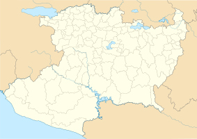
Barranca del Cupatitzio National Park
|
Barranca del Cupatitzio National Park
|
||
|
Pond in the National Park (2015) |
||
| location | Michoacan , Mexico | |
| surface | 4.58 km² | |
| WDPA ID | 306778 | |
| Geographical location | 19 ° 26 ' N , 102 ° 6' W | |
|
|
||
| Sea level | from 1648 m to 2238 m | |
| Setup date | November 2, 1938 | |
The Barranca del Cupatitzio National Park covers the headwaters of the Rio Cupatitzio in the state of Michoacán in Mexico .
The national park was established in 1938 as a recreation area in the northwestern part of Uruapan . It consists of two sub-areas, about four square kilometers west of the city and 0.5 km² in the middle of the city. Today the park is heavily marketed for tourism.
The total area of 4.58 km² was recognized in 1996 by the IUCN in Category II.
Individual evidence
Web links
Commons : Barranca de Cupatitzio National Park - Collection of images, videos and audio files

