Ngerikuul Bay
| Ngerikuul Bay Arumizu Wan, Iwayama Bay, Songel A Lise Lagoon |
||
|---|---|---|
| Waters | Pacific | |
| Land mass | Palau | |
| Geographical location | 7 ° 19 '56 " N , 134 ° 29' 50" E | |
|
|
||
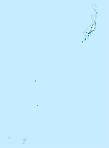
Ngerikuul Bay (also: Arumizu Bay , Arumizu Wan , Iwayama Bay , Iwayama-wan , Songel A Lise Lagoon ) is a bay or lagoon in the island state of Palau , which separates the island of Koror from Ulebsechel .
geography
The bay stretches from west to southeast and begins like a channel between the two islands. It widens in the east due to the arched shape of Koror, which forms a bay with the Ngermeuangel Peninsula that is crossed by about 16 of the Rock Islands . These islands are:
- Iberor Islets
- Kuat
- Long
- Bukrrairong
- Ngerbechetei Islets
- Ngetkuml
- Ngerumetochel
- Ngedesakr
- Tengetcheyangel
- Toirius
- Ngertechiel
- Meduu
and Itabchemingl , a peninsula that juts out from the southern Ngermeuangel Peninsula far north into the bay. The islands form the landmarks for a subdivision of the bay into the partial bays Nikko Bay and Ikesiil Bay , as well as the Ngerikuul Canal . In the south, Ulebsechel pushes itself far into the bay with the winding peninsula of Ngeteklou . The channel is demarcated to the southeast, towards the sea, by the two islets of Ucheliungs and Ngerchebukl .
Individual evidence
literature
- Republic of Palau Adventure and Dive Guide. Guide to the undisputed Best Diving in the World. Franko Maps Ltd. 2016.
