Bukrrairong
| Bukrrairong | ||
|---|---|---|
| Waters | Ngerikuul Bay , Pacific Ocean | |
| Archipelago | Carolines | |
| Geographical location | 7 ° 20 ′ N , 134 ° 30 ′ E | |
|
|
||
| Residents | uninhabited | |
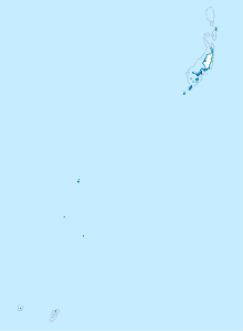
Bukrrairong (also: a Ilukpebul , Ailukpebul Island , Ilut Pebul , Kamori , Kamori-To ) is an island in the island state of Palau in the Pacific Ocean .
geography
The island in the area of the Rock Islands is enclosed with numerous others by the curved course of the island Koror , which forms the Ngerikuul Bay through the Ngermeuangel Peninsula . The island in the center of the bay and is one of the larger islands. Only narrow channels separate the islands from each other and from Koror in the north. The coastline is characterized by mangroves and the rugged structure of the former reef crown . The island is densely forested and uninhabited.
Individual evidence
literature
- Republic of Palau Adventure and Dive Guide. Guide to the undisputed Best Diving in the World. Franko Maps Ltd. 2016.
