Nubia lake
| Nubia lake | ||
|---|---|---|

|
||
| Satellite image of Lake Nubia in 2003 | ||
| Geographical location | northern Sudan | |
| Tributaries | Nile | |
| Drain | Nile | |
| Places on the shore | Wadi Halfa | |
| Data | ||
| Coordinates | 21 ° 57 ′ 0 ″ N , 31 ° 20 ′ 0 ″ E | |
|
|
||
| Altitude above sea level | 183 m | |
| surface | 968 km² | |
| Middle deep | 25 m | |
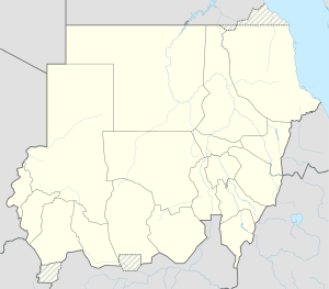
Nubia Lake , and Lake Nubia (called in Arabic بحيرة النوبة, DMG Buḥairat an-Nūba ), refers to the part of Lake Nasser that was created during the construction of the Aswan High Dam , which is located on the territory of Sudan .
The lake extends from the border between Egypt and Sudan about 228 km into Sudan, has a coastline of 1406 km and its water content is about 24.4 billion m³. The name is derived from the Nubia region . At the border between Egypt and Sudan, which generally follows the latitude 22 ° north, the Wadi Halfa Salient protrudes like a finger to the north into Egyptian territory in the area of Lake Nubia and Lake Nasser .
The only town on Lake Nubia is Wadi Halfa , which was rebuilt in 1970 after the reservoir was flooded and from whose port passenger and cargo ships run to the Aswan pier . The ancient Egyptian cities on the banks of the Nile, Semna-West , Kumma and Buhen , were just as flooded as numerous villages with traditional Nubian culture, which lay between the first and second cataracts of the Nile .

