
Obstruction Islands
| Obstruction Islands | ||
|---|---|---|
| Waters | Solomon Lake | |
| Geographical location | 10 ° 16 ′ S , 150 ° 56 ′ E | |
|
||
| Number of islands | 6th | |
| Main island | Iabama | |
| Total land area | 1.16 km² | |
| Residents | 231 (2000) | |

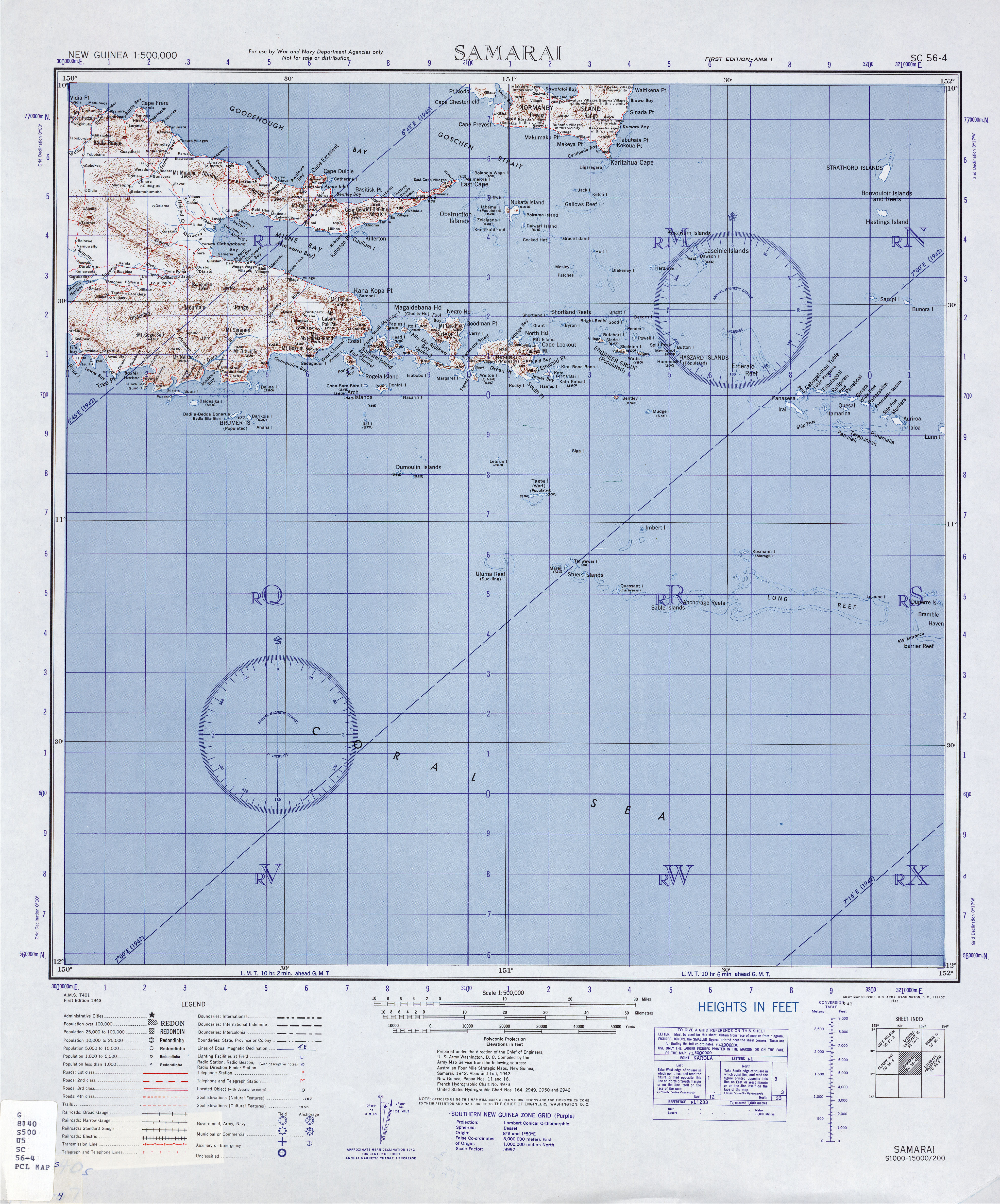
The Obstruction Islands are a group of islands east of New Guinea . Politically, they belong to the Milne Bay province in the southeastern area of Papua New Guinea .
geography
The islands lie between the Eastern Cape of New Guinea and the island of Nuakata . They were named Obstruction Islands because they block the passage between Nuakata and the Eastern Cape of New Guinea . The archipelago belongs administratively to the Maramatana Rural LLG (Local Level Government) Area in the Alotau district of the Milne Bay province .
The larger islands of the group are Lelei Gana or Pahilele (29 ha ), Iabama (34 ha), Boia Boia Waga (13 ha), Mei Mei Ara (38 ha), Kana Kuba (2.6 ha) and Hibwa (0, 3 ha).
At the 2000 census, the archipelago had a population of 231 on two inhabited islands (Biwa 180, and Iabam / Pahliele 51).
Individual evidence
- ^ Wiktionary: Obstruction
- ↑ All 24,390 geocoded census units in PNG from the 2000 census ( Memento from June 9, 2007 in the Internet Archive )