Orangozinho
| Orangozinho | ||
|---|---|---|
| Waters | Atlantic Ocean | |
| Archipelago | Bissagos Archipelago | |
| Geographical location | 11 ° 7 ′ N , 15 ° 56 ′ W | |
|
|
||
| length | 19 km | |
| width | 11.8 km | |
| surface | 107 km² | |
| main place | Evenings | |
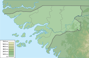
Orangozinho is an inhabited island of 107 km² in the Bissagos Archipelago , which belongs to Guinea-Bissau . Administratively it belongs to the Bubaque sector .
It is separated from the islands of Canogo (northwest) and Menegue to the west over the entire length of 18 kilometers only by a narrow, 400 to 2000 meter wide estuary.
Web links
- Pictures of the island (English)
- Orangozinho in the UNEP Islands Directory (English)
