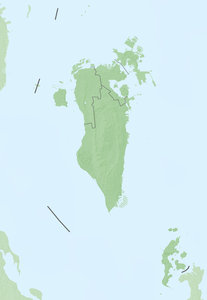
Passport Island
| Passport Island | ||
|---|---|---|
| Waters | Persian Gulf | |
| Geographical location | 26 ° 11 '3 " N , 50 ° 19' 29" E | |
|
|
||
| length | 2.4 km | |
| width | 700 m | |
| surface | 1 km² | |
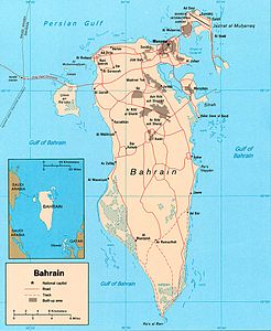
| border station at the top left of the CIA map of Bahrain | ||
Passport Island is an artificial island between Bahrain and Saudi Arabia in the Persian Gulf (Gulf of Bahrain).
In the middle of the island there is an international border crossing . In Arabic the name is al-Jazeera al-wasatiyya /الجزيرة الوسطية / al-Ǧazīra al-wasaṭīya in common, in the word meaning central island . On Google Maps , the term shall apply mutatis Middle Iceland ( al-Jazirah al-wusta /الجزيرة الوسطى / al-Ǧazīra al-wusṭā ). Actually, the island was designed in the form of two connected islands , the western one belonging to Saudi Arabia and the eastern one belonging to Bahrain. The structural designation is embankment no.4 . The King Fahd Causeway runs through the island .


