Patagonia Lake
| Patagonia Lake | |||||||
|---|---|---|---|---|---|---|---|
|
|||||||
|
|
|||||||
| Coordinates | 31 ° 29 '36 " N , 110 ° 51' 38" W | ||||||
| Data on the structure | |||||||
| Data on the reservoir | |||||||
| Altitude (at congestion destination ) | 1230 m | ||||||
| Water surface | 1.1 km² | ||||||
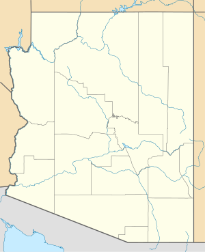
The Patagonia Lake is a reservoir in Santa Cruz County in the US state of Arizona . It has an area of 1.1 km² and is located in Patagonia Lake State Park . It was created when Sonoita Creek was dammed. The lake is in the Sonoran Desert near the Mexican border and is a good fishing spot. You can catch trout and catfish .
Web links
Commons : Patagonia Lake - collection of images, videos and audio files

