Peleng
| Peleng | ||
|---|---|---|
| Peleng topographic map | ||
| Waters | Banda Lake , Moluccan Sea | |
| Archipelago | Banggai Islands | |
| Geographical location | 1 ° 24 ′ S , 123 ° 10 ′ E | |
|
|
||
| length | 79 km | |
| width | 60 km | |
| surface | 2 345.6 km² | |
| Highest elevation | Tombila 1052 m |
|
| Residents | 40,000 17 inhabitants / km² |
|
| main place | Bonganang | |
Peleng is an island off the east coast of Sulawesi in Indonesia .
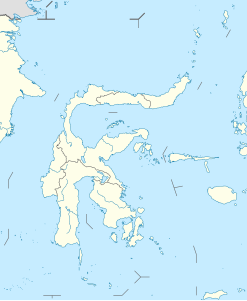
It is the largest of the Banggai Islands and is located between the Banda Sea and the Molucca Sea . It is separated from Sulawesi in the north and west by the 12 km wide Peleng Strait ( Selat Peleng ). In the southeast, about one kilometer away, is the smaller neighboring island of Banggai . In the north of the coast there is the even smaller island Bakalan, in the south Labobo is about 15 kilometers away and Bangkulu is 20 kilometers away. There are other small islands scattered further to the southeast.
The approximately 2350 km² large island is heavily forested and reaches a height of 1052 m above sea level. It extends in a very characteristic shape in a west-east direction: three main parts lie next to each other, the west and middle sections as well as the middle and east sections are connected by an isthmus, two and five kilometers wide.
Peleng belongs to the Sulawesi Tengah province and is divided into five districts ( Kecamatan ), from west to east, with main places in brackets: Buko (Tataba), Bulagi (Bulagi), Liang (Liang), Tinangkung (Salakan) and Totikum (Sambiut) . The most important places are Basiano in the Buko district on the west coast and Bonganang in the Tinangkung district.
The inhabitants live from coconut and potato cultivation and fishing.
Web links
Individual evidence
- ↑ cf. OpenStreetMap , accessed December 24, 2013.
- ↑ UNEP Islands (English)

