Puerto Blanco Mountains
| Puerto Blanco Mountains | ||
|---|---|---|
|
View of Pinkley Peak from Puerto Blanco Drive |
||
| Highest peak | Pinkley Peak ( 959 m ) | |
| location | Pima County , Arizona | |
|
|
||
| Coordinates | 32 ° 0 ′ N , 112 ° 51 ′ W | |
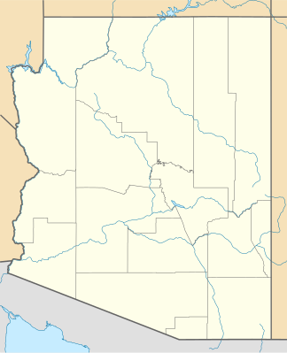
The Puerto Blanco Mountains are a mountain range in Pima County in the south of the US state Arizona near the border with Sonora , Mexico . They are located in the Organ Pipe Cactus National Monument and are accessed through Puerto Blanco Drive , which is a popular dirt road through the park. The highest point of the mountains is Pinkley Peak at 959 m.
The Sonoyta Mountains join in the south, the Bates Mountains in the north and the Cipriano Hills in the west .

