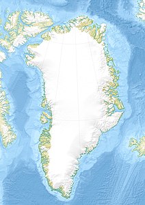
Qoornup Qeqertarsua
| Qoornup Qeqertarsua | ||
|---|---|---|
| Waters | Nuup Kangerlua | |
| Geographical location | 64 ° 27 ′ N , 51 ° 17 ′ W | |
|
|
||
| surface | 166.2 km² | |
| Residents | uninhabited | |
Qoornup Qeqertarsua ( Danish Bjørneøen ) is an uninhabited island in the Nuuk district in the Kommuneqarfik Sermersooq in Greenland . It is located in Nuup Kangerlua , about 25 km northeast of the capital Nuuk .
geography
Qoornup Qeqertarsua extends elliptically from the southwestern cape Aarnit Nuuat approx. 28 km to the northeastern cape Iliverpassuit Nuuat . The northernmost point of the island is Cape Niaqornarsuaq , the southernmost the Cape Sillisit Nuuat , the westernmost the Cape Nunngarutinnguaq and the easternmost the stone Qaqortoq . The island is also rich in mountains and lakes. Northeast of Qoornup Qeqertarsua directly borders the island of Qoornoq , on which the abandoned settlement of the same name is located. At the southern tip of Qoornup Qeqertarsua lies the abandoned settlement of Qaarusuk .
Individual evidence
- ^ Names of the geographical features of Greenland from Asiaq , provided by Oqaasileriffik
