Rainis Bay
| Rainis Bay Teluk Rainis |
||
|---|---|---|
| Waters | Moluccan Sea | |
| Land mass | Karakelong | |
| Geographical location | 4 ° 14 '33 " N , 126 ° 52' 6" E | |
|
|
||
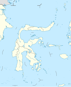
The Rainisbucht ( Indonesian Teluk Rainis , English Rainis Bay ) is a bay on the east coast of the island Karakelong , the north-east of Sulawesi lies.
The bay opens to the east to the Molucca Sea , with the north shore extending further east to the settlement of Tabang . On the bank of the actual bay is the village of Bantane to the west and the village of Rainis to the south . Rainis' administrative center is located in the settlement on the south bank. The entire coast of the bay belongs to the Rainis district .
Individual evidence
- ↑ United States. Board on Geographic Names: Decision List - United States, Department of the Interior, Board on Geographical Names , 1945, limited preview in Google Book Search.
- ↑ Map of Karakelong , accessed October 1, 2019.
- ↑ Statistical data 2018 from Rainis (Indonesian)
