Urstein ruins
| Urstein ruins | ||
|---|---|---|
|
Urstein castle ruins (2018) |
||
| Alternative name (s): | Rachinstein, Rachenstein | |
| Creation time : | 1080 First building, built over at the beginning of the 13th century | |
| Castle type : | Spurburg | |
| Conservation status: | Castle stable with small remains | |
| Standing position : | Church prince, later nobility | |
| Geographical location | 47 ° 23 '6.6 " N , 9 ° 19' 27.8" E | |
|
|
||
The ruins Urstein is an almost Outbound Spur castle , located in the canton of Appenzell Outer Rhodes . Today only two corners of the wall are visible. Most of it has slipped into the ravine over time.
location
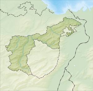
The Urstein ruins are located at 690 m. ü. M. on a spur between the Urnäschtobel and the Tobel of the Stösselbach in the municipality of Herisau . On the mountain side, the castle was protected by a moat .
history
The hill fort was probably built as a refuge by the St. Gallen Abbey , at that time still under the name of Rachenstein. In the 13th century, the von Urstein family appeared in a book of the dead in St. Gallen Abbey. This expanded the castle further. Urstein Castle was destroyed by Ulrich von Ramschwag in 1275.
In the years 1970–1985 the ruins were archaeologically examined.
Web links
Individual evidence
- ↑ Burgenwelt - Urstein. Retrieved June 7, 2019 .
- ↑ Swiss Castle Association (ed.): Castle map of Switzerland . East. Wabern 2007, ISBN 978-3-302-09802-9 .


