Île St. Pierre
| Île St. Pierre | ||
|---|---|---|
| Île St. Pierre | ||
| Waters | Indian Ocean | |
| Archipelago | Seychelles | |
| Geographical location | 4 ° 18 '9.4 " S , 55 ° 45' 0" E | |
|
|
||
| length | 110 m | |
| width | 80 m | |
| surface | 0.72 ha | |
| Highest elevation | 10 m | |
| Residents | uninhabited | |
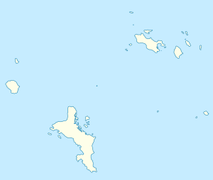
| Location of the island in the east of the Baie Curieuse | ||
Île St. Pierre is an uninhabited island in the Seychelles . It is located north of the island of Praslin in the east of Baie Curieuse at the edge of National Park Curieuse Marine National Park . From Pointe Zanguilles and Anse Volbert, Île St. Pierre is both 1.5 km away.
The island is rocky, made up of a few coconut trees and only half a hectare in size. The endemic Seychelles palm used to grow here .
The waters around Île St. Pierre are popular with snorkelers and swimmers. The picturesque island is being marketed in advertising campaigns as the image of a Seychelles island . It belongs to the Baie Sainte Anne district . A few hundred meters south is the private island of Chauve Souris .
Web links
Commons : Île St. Pierre - Collection of images, videos and audio files
- St. Pierre on the Seychelles Official Tourism Website
Individual evidence
- ↑ Saint Pierre Islet at GeoNames , geonames.org 2020-05-15.


