Sandy Island Number 1
| Sandy Island Number 1 | ||
|---|---|---|
| Waters | Arafura lake | |
| Geographical location | 11 ° 6 ′ 11 ″ S , 132 ° 17 ′ 22 ″ E | |
|
|
||
| length | 450 m | |
| width | 160 m | |
| Residents | uninhabited | |
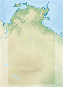
Sandy Island Number 1 is an uninhabited island on the north coast of Australia , about 200 kilometers northeast of Darwin . In the local Aboriginal language it is called Wawadi .
It is located 1.2 kilometers off the coast of Cobourg Peninsula ( Northern Territory ) in Garig Gunak Barlu National Park at Smith Point, one of the northernmost points of the mainland in the Northern Territory and the location of a campsite and the ranger station "Black Point".
The island is about 450 meters long and 160 meters wide in a north-south direction. Entering the island is prohibited.
The island Sandy Iceland Number 2 is located about eleven kilometers east.
See also
- Sandy Island to other islands of that name
Individual evidence
- ↑ a b c Garig Gunak Barlu National Park fact sheet and map. (PDF) Northern Territory Government of Australia, November 2017, p. 3 , accessed on September 29, 2019 .
- ↑ Sandy Island Number 1 Mapcarta (English). Last accessed on September 28, 2019
- ↑ Measurement on Google Maps, September 28, 2019

