Sangiang
| Sangiang | ||
|---|---|---|
| Sangiang | ||
| Waters | Sunda Street | |
| Geographical location | 5 ° 57 '21 " S , 105 ° 51' 18" O | |
|
|
||
| length | 4.7 km | |
| width | 3.6 km | |
| surface | 4 km² | |
| Highest elevation | 167 m | |
| Residents | uninhabited | |
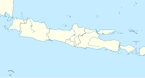
| Map of the Sunda Strait with Sangiang | ||
Sangiang ( Indonesian Pulau Sangiang ) is an Indonesian island in the middle of the Sunda Strait between Java and Sumatra .
Administratively it belongs to the administrative district of Serang (province of Banten ) in western Java. The island is to be touched in the future by the planned Sunda Strait Bridge ( Jembatan Selat Sunda ). It is uninhabited and has been a nature reserve since 1991. In the Dutch colonial era , it was called Dwars in de Weg (“across the path”).
The island can be reached in around 45 minutes from Anyer by boat or boat. It has coral reefs and a few beaches.
Web links
Commons : Sangiang - collection of images, videos and audio files
Individual evidence
- ↑ Statistical data from the Pandeglang district 2018 (Indonesian).


