Sauðárfoss
| Sauðárfoss | ||
|---|---|---|
|
The Sauðárfoss |
||
| Coordinates | 64 ° 55 '12 " N , 15 ° 50' 56" W | |
|
|
||
| place | Iceland | |
| height | 20 m | |
| flow | Sauða → Jökulsá á Brú | |
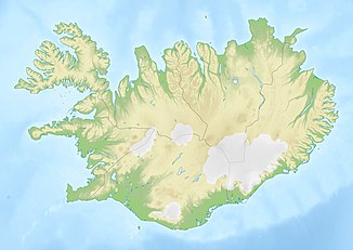
The Sauðárfoss was a waterfall in the east of Iceland in the municipality of Fljótsdalshérað .
The Sauðá í Sauðárdal forms on the northern edge of the Brúarjökull and flows as a left tributary into the Jökulsá á Brú . Now it flows directly into the Hálslón . The waterfall with a height of 20 m was located near the mouth. When the reservoir, which belongs to the Kárahnjúkar power station , was dammed, the waterfall was submerged.
See also
Individual evidence
- ↑ Landid sem hverfur II: Sauðá. Retrieved March 30, 2019 (Icelandic).

