Spitzli (Appenzellerland)
| Spitzli | ||
|---|---|---|
| height | 1519 m above sea level M. or 1520 m | |
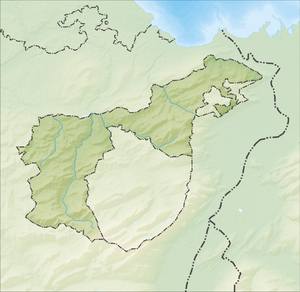
| location | Switzerland , Canton of Appenzell Ausserrhoden | |
| Mountains | Eastern Swiss Prealps , Appenzell Alps | |
| Coordinates | 740 263 / 238564 | |
| Topo map | map.wanderland.ch | |
|
|
||
|
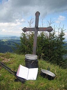
Summit cross on the Spitzli with an open summit book |
||
The Spitzli is - depending on the source - 1519 m above sea level. M. or 1520 m high mountain in the Eastern Swiss Pre-Alps or in the Appenzellerland . It is located south of the village of Urnäsch . Several hiking trails lead up the mountain.
The whole area of the Spitzli is under "total [m] plant protection".
Individual evidence
- ↑ map.geo.admin.ch. Swiss Federal Administration, accessed on August 15, 2012 .
- ^ Helmut Dumler: Appenzeller Land . The most beautiful valley and mountain hikes. 6th edition. Bergverlag Rother , Munich 2008, ISBN 978-3-7633-4086-6 , Tour 4: Spitzli, 1519 m, p. 26-27 .
- ↑ Kompass hiking map 112: Appenzellerland, St. Gallen, Säntis . 1:50 000, ISBN 978-3-85491-461-7 .
- ↑ 422.111.1 - Government council resolution on the plant reserves in the canton of Appenzell A.Rh. from 06/20/1960, in force since: 06/20/1960 Current version in force since: 03/31/1969, (decision date: 03/31/1969). Retrieved February 9, 2012 .

