Telomoyo
| Gunung Telomoyo | ||
|---|---|---|
|
Street on Telomoyo |
||
| height | 1894 m | |
| location | Java , Indonesia | |
| Coordinates | 7 ° 21 '41 " S , 110 ° 23' 58" E | |
|
|
||
| Type | Stratovolcano | |
| Age of the rock | Holocene | |
| Last eruption | unknown | |
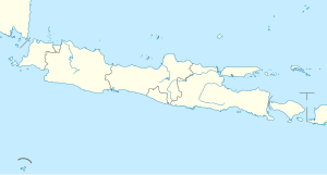
Telomoyo (also Telemoyo , Indonesian Gunung Telomoyo ) is an active stratovolcano on the Indonesian island of Java in the province of Central Java .
The Telomoyo is located in a series of volcanoes that begin in the north-northwest with the Ungaran (2050 meters) and continue south-southeast with the Merbabu (3145 meters) and the Merapi (2968 meters). The latter has erupted regularly over the past centuries.
The Telomoyo last erupted in the Holocene . It rises in the south of a U-shaped depression , which was created when the eastern flank of the now eroded volcano Soropati collapsed in the Pleistocene , and reaches a height of 600 meters above the edge of the depression.
See also
Web links
- Telomoyo in the Global Volcanism Program of the Smithsonian Institution (English)

