Theodore (Queensland)
| Theodore | |||||||
|---|---|---|---|---|---|---|---|
|
|||||||
|
|||||||
|
|||||||
|
|||||||
|
|
|||||||
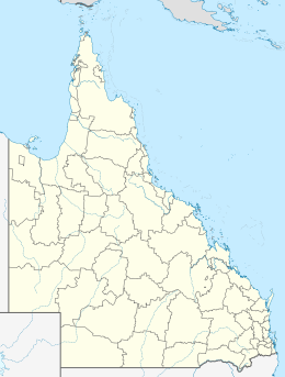
Theodore is a small town on the Dawson River in the Australian state of Queensland . It is named after the Australian politician Ted Theodore . Theodore is located in the Local Administrative Area (LGA) Banana Shire Council .
The coal extraction in the nearby Bowen Basin , a sawmill and some agricultural irrigation projects are economically important .
During 2010, the Dawson River experienced repeated floods. After heavy rains, another flood on December 28, 2010 led to a water level in the Dawson River of over 14 m. The city was completely evacuated in the aftermath of the catastrophic Queensland flooding in late 2010-2011.
Individual evidence
- ↑ Australian Bureau of Statistics : Theodore (L) ( English ) In: 2016 Census QuickStats . June 27, 2017. Retrieved April 15, 2020.
- ↑ Heavy rain floods parts of Queensland , NZZ Online from December 28, 2010. Accessed January 6, 2012.
