Tikaboo Peak
| Tikaboo Peak | ||
|---|---|---|
| height | 2412 m | |
| location | United States | |
| Mountains | Pahranagat Range | |
| Coordinates | 37 ° 20 '40 " N , 115 ° 21' 32" W | |
|
|
||
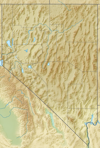
The Tikaboo Peak is the highest point of the Pahranagat Range, Lincoln County (Nevada) and is located in the Great Basin northeast of Death Valley National Park and southwest of the Great Basin National Park .
The mountain is on the eastern edge of the Tikaboo Valley , near Highway 375 and 42 kilometers east of the Area 51 restricted military area . Today it is the only freely accessible vantage point with a view of the restricted area. The two closer lookout points, Freedom Ridge and White Sides , were closed to the public by the US government in 1995 because numerous people filmed and photographed the area from there.
The closest towns are Alamo and Ash Springs, about 20 kilometers to the east and northeast, respectively. The nearest metropolis is Las Vegas, 110 kilometers to the south.
Web links
- Tikaboo Peak - Climbing, Hiking & Mountaineering
- 270 ° panoramic view from the summit of Tikaboo Peak

