Vierville tumuli
| Vierville tumulus Tumulus de la Butte or Dolmen of Vierville | ||
|---|---|---|
|
|
||
| Coordinates | 49 ° 21 '28.7 " N , 1 ° 15' 0.6" W | |
| place | north of Carentan , Manche , Normandy , France | |
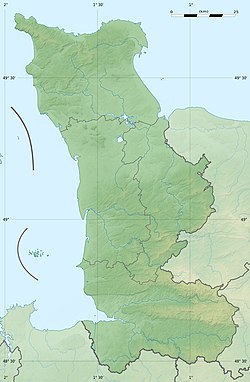
The Tumuli of Vierville (also called Tumuli de la Butte or Dolmen of Vierville - not Vierville-sur-Mer) are megalithic systems west of Vierville on the Cotentin peninsula north of Carentan in the Manche department in Normandy in France . The two hills are about 300 meters west of the castle.
The complex, consisting of combined monuments, was discovered in 1826 and has been excavated since 1975. It consists of:
- a round tumulus, which has a round chamber in the center, which is accessed by a coaxial, long, funnel-shaped passage to the east
- two horn-like symmetrical structures, called antennas by archaeologists, in the west, the purpose of which is puzzling
- an extension of the hill to the south with a second chamber.
When they were built, the monuments from the Middle Neolithic were, as a pollen analysis shows, in an environment in which hazelnuts, oaks and ferns grew.
The finds point to subsequent burials in the Bronze Age . The facility is inaccessible on private land.
The whole thing has been classified as a Monument historique since 1974 .
literature
- Vincent Carpentier, Emmanuel Ghesquiére, Cyril Marcigny: Archéologie en Normandie . Edition Quest-France, Rennes 2007, ISBN 978-2-7373-4164-9 , ( Collection Histoire ).
