West Malling
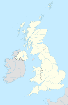
The town of West Malling in the English county of Kent is the administrative seat of the district Tonbridge and Malling . It is located approximately 50 km (32 mi ) southeast of London . Maidstone , the seat of the county of Kent, is about 13 km (8 mi) east. In 2011, West Malling had a population of 2,590.
Attractions
- Leonard's Tower, Norman castle tower on the southern outskirts
- Old Benedictine Abbey, St. Mary's Abbey , founded in 1090 by Bishop Gundulf of Rochester , used by Anglican Benedictine nuns since 1916
Transport links
The South Eastern Main Line railway connects the place with London and Maidstone . The station is east of the built-up town center.
The M 20 motorway runs north of the village and crosses the A228 in the northeast. There is an entry and exit via junction No. 4.
Others
In 1967 the Beatles shot scenes for the film Magical Mystery Tour here .
Web links
Commons : West Malling - collection of images, videos and audio files
proof
Coordinates: 51 ° 17 ′ 39 ″ N , 0 ° 24 ′ 31 ″ E


