
Manucassa
| Manucassa | |||

|
|||
| Data | |||
| surface | 7.02 km² | ||
| population | 518 (2015) | ||
| Chefe de Suco | Juliana Imaculada (election 2016) |
||
| Aldeias | Population (2015) | ||
| Fatumer | 293 | ||
| Manutai | 225 | ||
|
|||

Manucassa ( Manucasa , Manukasa ) is an East Timorese Suco in the administrative office of Lequidoe ( municipality of Aileu ).
geography
| Manucassa | ||
| places | position | height |
| Fatumer | 8 ° 42 ′ S , 125 ° 38 ′ E | 1217 m |
| Rematu | 8 ° 43 ′ S , 125 ° 38 ′ E | 1217 m |
Before the 2015 territorial reform, Manucassa had an area of 7.80 km². Now it is 7.02 km². The Suco lies to the west of the Lequidoe administrative office. To the east is the Suco Namolesso and north of the Suco Fahisoi . To the west and south is the Aileu administrative office with its Suco Fahiria . The southern border is formed by the Manufonihun River , which is part of the Northern Laclós system .
In the northeast of the Sucos lie the villages Fatumerin ( Fatumering ) and Rematu . There is a primary school, the Escola Primaria Manucasa .
In the Suco are the two Aldeias Fatumerin and Manutai .
Residents
518 inhabitants (2015) live in the Suco, of which 269 are men and 249 women. The population density is 73.8 inhabitants / km². There are 88 households in the Suco. Over 90% of the residents state Mambai as their mother tongue. Over 8.5% speak Tetum Prasa , while small minorities speak Makuva or Sa'ane .
politics
In the elections of 2004/2005 was António Araújo elected Chefe de Suco and in 2009 re-elected. In the elections in 2016 won Juliana Imaculada .
Web links
- Results of the 2010 census for the Suco Manucassa ( tetum ; PDF; 8.3 MB)
- Results of the 2015 census for Suco Manucassa (tetum; PDF)
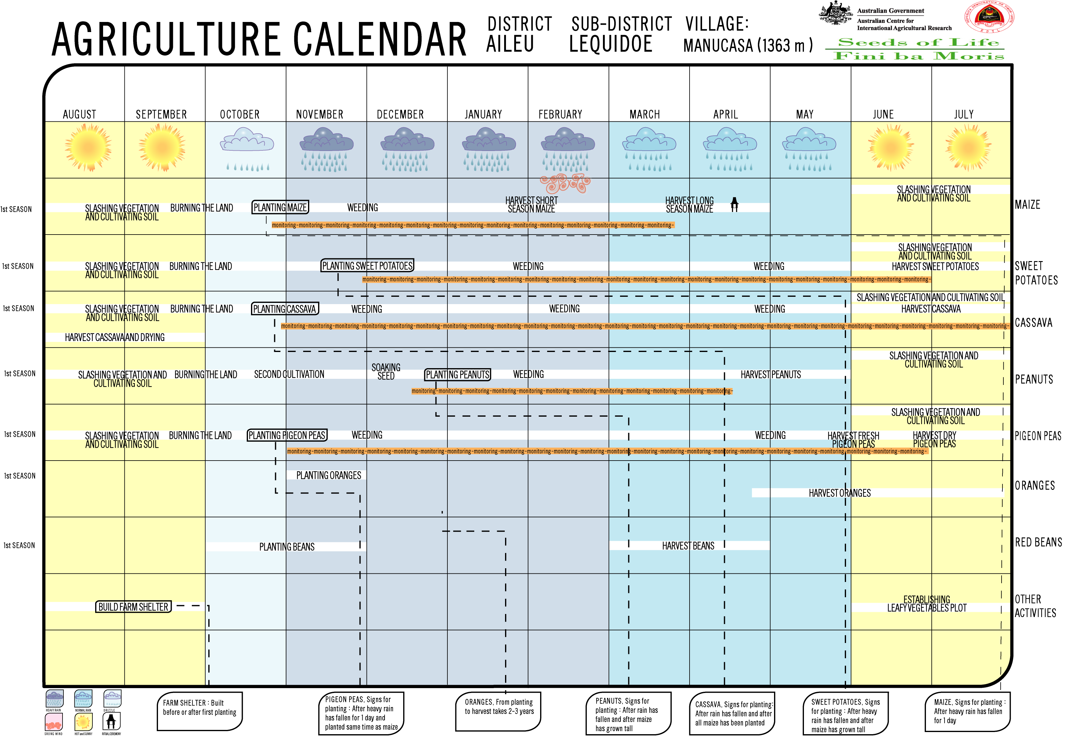
- Seeds of Life: Suco information sheets Lequidoe (tetum)
- Seeds of Life: Agriculture Calendar (English)
Individual evidence
- ↑ a b c d Direcção-Geral de Estatística : Results of the 2015 census , accessed on November 23, 2016.
- ↑ Fallingrain.com: Directory of Cities, Towns, and Regions in East Timor
- ↑ Direcção Nacional de Estatística: Population Distribution by Administrative Areas Volume 2 English ( Memento of the original from January 5, 2017 in the Internet Archive ) Info: The archive link has been inserted automatically and has not yet been checked. Please check the original and archive link according to the instructions and then remove this notice. (2010 census; PDF; 22.6 MB)
- ^ Timor-Leste GIS-Portal ( Memento from June 30, 2007 in the Internet Archive )
- ↑ UNMIT: Timor-Leste District Atlas version 02, August 2008 ( Memento of the original from December 3, 2011 in the Internet Archive ) Info: The archive link has been inserted automatically and has not yet been checked. Please check the original and archive link according to the instructions and then remove this notice. (PDF; 530 kB)
- ↑ List of polling stations for the parliamentary elections in East Timor 2007 (PDF file; 118 kB)
- ↑ Jornal da Républica with the Diploma Ministerial n. 199/09 ( Memento of February 3, 2010 in the Internet Archive ) (Portuguese; PDF; 323 kB)
- ↑ Results of the 2010 census for the Suco Manucassa ( tetum ; PDF; 8.3 MB)
- ↑ Secretariado Técnico de Administração Eleitoral STAE: Eleições para Liderança Comunitária 2004/2005 - Resultados ( Memento of August 4, 2010 in the Internet Archive )
- ↑ Secretariado Técnico de Administração Eleitoral STAE: Eleições para Liderança Comunitária 2009 - Resultados ( Memento of August 4, 2010 in the Internet Archive )
- ↑ Jornal da República: Lista Naran Xefe Suku Eleito 2016, December 2, 2016 , accessed on June 17, 2020.
![]() Map with all coordinates: OSM | WikiMap
Map with all coordinates: OSM | WikiMap
The administrative borders within East Timor changed in 2015. This article must therefore be checked and updated if necessary. See New Administrative Boundaries .