
Kołacinek
Kołacinek | |
|---|---|
Village | |
 Kołacinek | |
| Coordinates: 51°51′54″N 19°49′49″E / 51.86500°N 19.83028°E | |
| Country | |
| Voivodeship | Łódź |
| County | Brzeziny |
| Gmina | Dmosin |
Kołacinek [kɔwaˈt͡ɕinɛk] is a village in the administrative district of Gmina Dmosin, within Brzeziny County, Łódź Voivodeship, in central Poland.[1] It lies approximately 9 kilometres (6 mi) south-east of Dmosin, 10 km (6 mi) north-east of Brzeziny, and 27 km (17 mi) east of the regional capital Łódź.
-
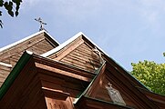 18th-century church in Kolacinek
 -
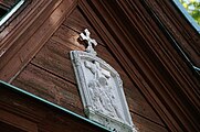 Details of the outside
 -
 Details of the outside


References[edit]

This Brzeziny County location article is a stub. You can help Wikipedia by expanding it. |