
Overview map of Central Europe 1: 300,000
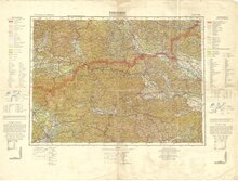
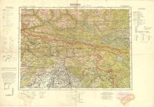
The overview map of Central Europe 1: 300,000 was a topographic map series for military purposes. It was published by the Cartographic Department of the Prussian Land Survey in Berlin, later the Reich Office for Land Survey. It was published between 1893 and 1945. Originally it was only intended for Central Europe, later Northern Europe and Eastern Europe were added.
See also
Individual evidence
- ^ Overview map of Central, Eastern and Northern Europe 1: 300,000 (ME 300), 1893 - 1945. Retrieved on November 3, 2018 .