
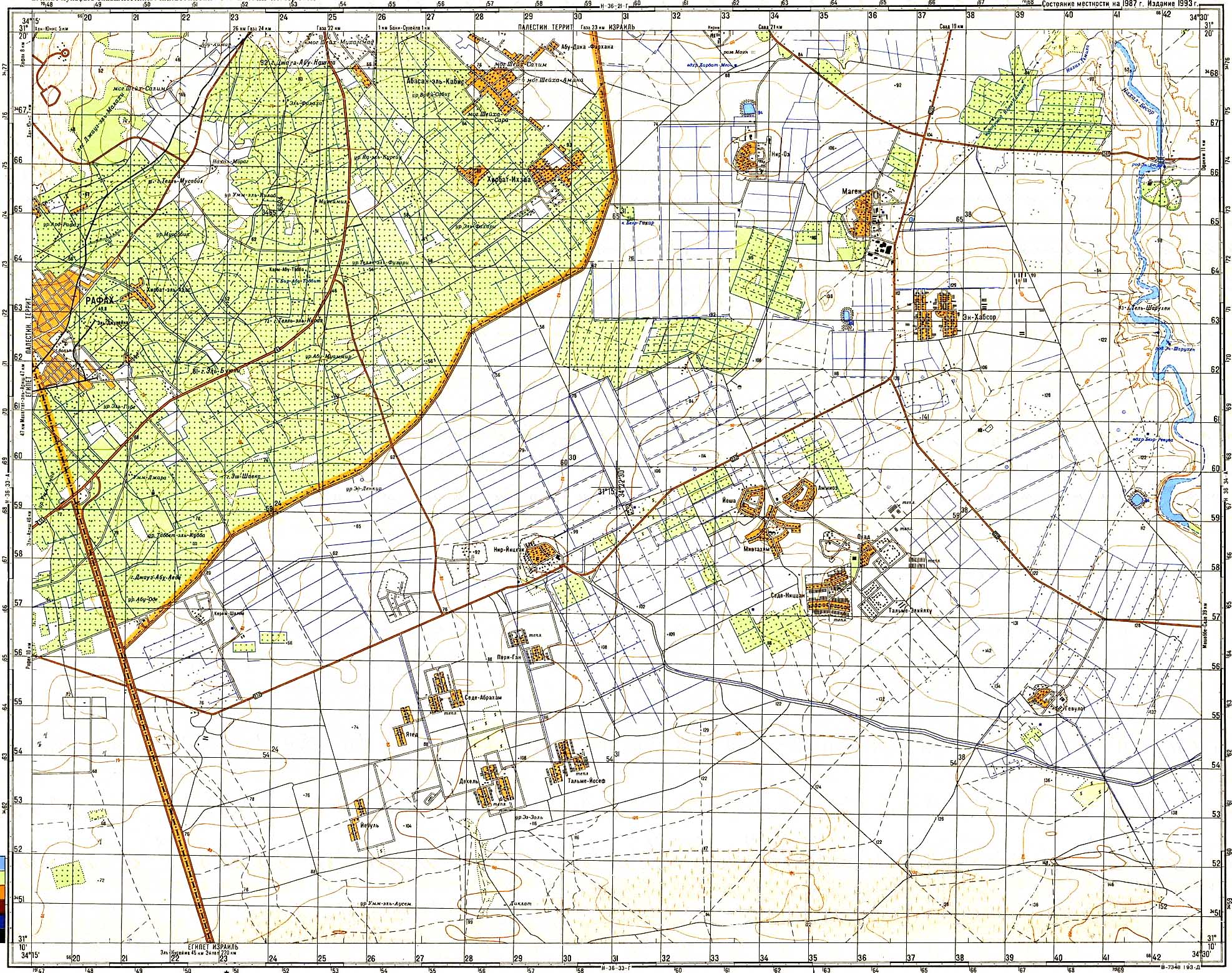
Abu Auda
| Abu Auda | ||
|---|---|---|
| height | 105 m | |
| location | Gaza Strip , Palestinian Territories | |
| Coordinates | 31 ° 13 '38 " N , 34 ° 16' 18" E | |
|
||

The Abu Auda (also Abu 'Awdah or Joz Abu' Auda ) is the highest point in the Gaza Strip ( Palestinian Autonomous Areas ). The mountain rises 105 meters above sea level. It is located in the south of Rafah Governorate , just south of Yasser Arafat International Airport .
map
- г [ора] Джауз Абу-Аеде and ур [очище] Абу-Оде on the Soviet General Staff Map 1: 50,000, sheet H-36-33-Б , 1987 ( scan )