Alrø
| Alrø | ||
|---|---|---|
| Alrø from the southwest | ||
| Waters | Baltic Sea | |
| Archipelago | Horsens Fjord | |
| Geographical location | 55 ° 51 '35 " N , 10 ° 3' 57" E | |
|
|
||
| length | 7 km | |
| width | 5 km | |
| surface | 7.51 km² | |
| Highest elevation | 15 m | |
| Residents | 150 (January 1, 2020) 20 inhabitants / km² |
|
| main place | Alrø By | |
| The dam to Alrø | ||
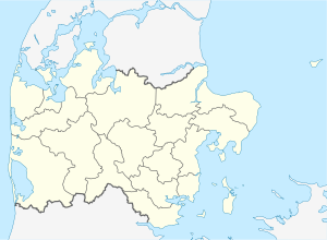
Alrø is a Danish island in Horsens Fjord . It is 7 km long, 5 km wide and has an area of 7.51 km², the highest point is 15 m above sea level. It forms its own parish municipality ( Danish : Sogn ) Alrø Sogn , which until 1970 belonged to Harde Hads Herred in what was then Århus Amt , then to Odder Municipality in the expanded Århus Amt , which has belonged to the Midtjylland region since the municipal reform on January 1, 2007 . Alrø has 150 inhabitants (as of January 1, 2020).
The island is connected to the mainland by a 1 km long causeway, which was inaugurated on June 10, 1931.


