Amatitlán lake
| Amatitlán lake | ||
|---|---|---|

|
||
| The Amatitlan under the Pacaya volcanoes (in the background on the right) | ||
| Geographical location | Guatemala , Guatemala | |
| Tributaries | Río Villalobos | |
| Drain | Río Michatoya → Río María Linda | |
| Places on the shore | Amatitlán | |
| Location close to the shore | Guatemala City | |
| Data | ||
| Coordinates | 14 ° 28 ′ N , 90 ° 35 ′ W | |
|
|
||
| Altitude above sea level | 1188 m | |
| surface | 15 km² | |
| length | 11 km | |
| Maximum depth | 33 m | |
| Middle deep | 18 m | |
|
particularities |
located in a caldera |
|
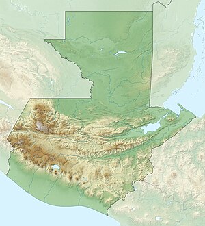
Lake Amatitlán is the fourth largest lake in Guatemala .
It is located around 26 km south of the capital Guatemala City at an altitude of 1188 m above sea level . The freshwater lake fills a volcanic caldera and is about 15 km² in size. It is 33 m deep at its deepest point, and on average it is 18 m deep. On the west bank of the lake is the city of the same name, Amatitlán , a few kilometers south of the Pacaya , one of the most active volcanoes in Central America.
The lake is divided into two parts by a railway embankment, which results in different biological conditions. Untreated sewage from the capital was let into Lake Amatitlán until 2005. The water quality has meanwhile been significantly improved through a renovation project.
The song “Reno” by Bruce Springsteen refers to the lake in the text: Sunlight on the Amatitlan, Sunlight streaming through your hair .

