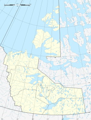
Artillery Lake
| Artillery Lake | ||
|---|---|---|
| Geographical location | Northwest Territories (Canada) | |
| Tributaries | Lockhart River | |
| Drain | Lockhart River | |
| Location close to the shore | Reliance | |
| Data | ||
| Coordinates | 63 ° 9 ′ N , 107 ° 52 ′ W | |
|
|
||
| Altitude above sea level | 364 m | |
| surface | 535 km² | |
| length | 75 km | |
| width | 9 km | |
| Catchment area | 26,600 km² | |
Artillery Lake is a 75 km long lake in the Northwest Territories of Canada . It is traversed by the Lockhart River, which flows 30 km west of its southern end into the McLeod Bay of the Great Slave Lake . Its area is 535 km², the total area with islands 551 km². The catchment area of the lake covers 26,600 km².
Individual evidence
- ↑ a b Natural Resources Canada - The Atlas of Canada - Lakes ( Memento from January 14, 2013 in the Internet Archive )
- ↑ R-ArcticNet

