Bavarian country tables

from Wikipedia, the free encyclopedia

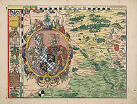
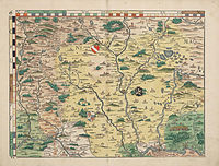
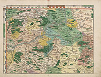
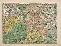
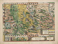
The Bavarian Land Tables are a map of Bavaria . In 1566, the scholar and cartographer Philipp Apian had 24 woodcuts made on a scale of 1: 144,000 on the basis of his "Large Map" (1: 45,000). He published them in his own print shop. The size of the leaves is approximately 43 × 33 cm. In addition, a good 100 views were created together with Jost Amman .

The Latin dedication of Apian to his sovereign Duke Albrecht V of Bavaria is placed on the upper, ornate decorative strip . The content is stated: "In it the praiseworthy Furstenthumb Obern and Nidern Bayrn sambt der Obern Pfaltz, Ertz and Stifft Saltzburg, Eichstet and other several offensive creations with lots of description and printed by Philippum Apianum."

The geodesist Max Gasser wrote in 1903: “The first land survey carried out by Philipp Apian (1531-1589) must be praised for the fact that at a time when all the other states had hardly any primitive maps, they recorded the most perfect maps not only of their epoch, but also Centuries ago. "

Card cut

Nuremberg Amberg, Sulzbach Philipp Apian - Bavarian country tables from 1568 - Plate 03.jpg Philipp Apian - Bavarian country tables from 1568 - Plate 04.jpg
Philipp Apian - Bavarian country tables from 1568 - Plate 05.jpg Philipp Apian - Bavarian country tables from 1568 - Plate 06.jpg Philipp Apian - Bavarian country tables from 1568 - Plate 07.jpg Philipp Apian - Bavarian country tables from 1568 - Plate 08.jpg
Philipp Apian - Bavarian country tables from 1568 - Plate 09.jpg Philipp Apian - Bavarian country tables from 1568 - Plate 10.jpg Philipp Apian - Bavarian country tables from 1568 - Plate 11.jpg Philipp Apian - Bavarian country tables from 1568 - Plate 12.jpg
Philipp Apian - Bavarian country tables from 1568 - Plate 13.jpg Philipp Apian - Bavarian country tables from 1568 - Plate 14.jpg Philipp Apian - Bavarian country tables from 1568 - Plate 15.jpg Philipp Apian - Bavarian country tables from 1568 - Plate 16.jpg
Ammersee, Wirmsee (today Lake Starnberg) Munich Chiemsee, Traunstein Attersee
Schongau, Weilheim Tegernsee Berchtesgaden, Marquartstein Salzburg

See also

literature

  • Philipp Apian and the Cartography of the Renaissance. 1989

Web links

Commons : Philipp Apian's Bairische Landtafeln  - Collection of pictures, videos and audio files

Individual evidence

  1. Philipp Apian: Early Views of Bavarian Places and Landscapes.