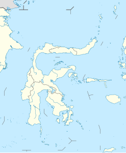
Banua Wuhu
| Banua Wuhu | ||
|---|---|---|
| height | 5 m below sea level | |
| location | Mahengetang Island , Sangihe Islands , Indonesia | |
| Coordinates | 3 ° 8 '44 " N , 125 ° 26' 33" E | |
|
|
||
| Type | submarine volcano | |
| Last eruption | 1919 | |
The Banua Wuhu is an undersea volcano west of the island of Mahengetang in the Indonesian chain of the Sangihe Islands . Its summit is 5 meters below the surface of the water, but rises 400 meters from the sea floor.
From April 23 to 26, 1835, an island up to 90 meters high was formed due to eruptions, but by 1848 it was almost completely eroded by the sea. During eruptions from September 6th to 9th, 1889, an island was formed, which reached a height of 50 meters by 1894, and 5 craters were formed during eruptions from April 17th to 18th and August 27th, 1904. Another island that formed from July 18, 1918 to December 1919, disappeared completely by 1935. In an eruption in April 1919, boulders and glowing ash fell on Mahengetang Island and set houses there on fire. The residents of Mahengetang had temporarily left the island.
Historical records show another eruption from July to December 1895.
Web links
- Banua Wuhu in the Global Volcanism Program of the Smithsonian Institution (English)
Individual evidence
- ^ National Geospatial-Intelligence Agency (ed.): Sailing directions (enroute): New Guinea. Pub. 164, 12th edition, 2011, p. 9 (English, pdf, 3.9 MB).
- ↑ Banua Wuhu in The Significant Volcanic Eruption Database of NOAA (English, accessed on February 20, 2013).
