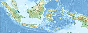
Batu Tara
| Batu Tara | ||
|---|---|---|
|
Batu Tara in a 2009 outbreak |
||
| height | 748 m | |
| location | Indonesia | |
| Coordinates | 7 ° 47 '31 " S , 123 ° 34' 44" E | |
|
|
||
| Type | Stratovolcano | |
| Last eruption | 2012 | |
The 748 m high stratovolcano Batu Tara is located in Indonesia and forms the small island of Komba . It is about 60 km off the coast of the larger island of Lembata . Komba is difficult to get to and is off the beaten track. The island's coastline is so steep that landing is virtually impossible. Therefore the island is also uninhabited.
The Batu Tara mainly extracts basaltic lava, which is rather untypical for a subduction zone volcano. It is permanently active and produces strombolian eruptions several times a day . Red-hot lava slag is thrown several hundred meters up by explosions. Some of these land on the volcanic slope and roll into the sea. Ash clouds occasionally reach a height of several kilometers and can pose a danger to air traffic.
Web links
- Batu Tara on vulkane.net
- Travel report Batu Tara
- Batu Tara in the Global Volcanism Program of the Smithsonian Institution (English)

