Baynesberg
| Baynesberg | ||
|---|---|---|
| Highest peak | ? ( 2039 m ) | |
| location | Kunene , Namibia | |
|
|
||
| Coordinates | 17 ° 12 ′ S , 12 ° 40 ′ E | |
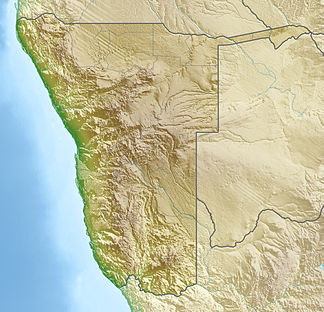
The Baynesberge (rarely English Baynes Mountains ) are a mountain range in northern Namibia on the border to Angola. The highest point is 2039 m .
The construction of a joint Angolan- Namibian power plant with a reservoir on the Kunene has been planned in the Baynes Mountains since 2006 . The start of construction was originally planned for 2016, and is now to begin in 2021 and to be completed in 2025 .
Individual evidence
- ^ Kaokoland Description. The Cardboard Box. Retrieved March 24, 2014
- ↑ NamPower wants hydropower. Allgemeine Zeitung, July 28, 2006. Retrieved March 24, 2015
- ↑ DECLARATION OF THE MOST DIRECTLY AFFECTED OVAHIMBA, OVATWA, OVATJIMBA AND OVAZEMBA AGAINST THE OROKAWE DAM IN THE BAYNES MOUNTAINS. Earth Peoples, February 7, 2012. Retrieved March 24, 2015
- ^ Baynes Hydropower Project. NamPower. Retrieved November 16, 2015
- ^ Namibia, Angola to develop cross-border Baynes hydroelectric dam. Construction Review, March 20, 2020.
