Basin of the Guadalquivir
Coordinates: 37 ° 50 ′ 0 ″ N , 6 ° 43 ′ 50 ″ W.
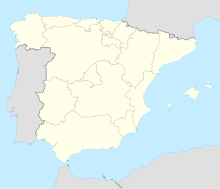
The Guadalquivir basin is located in Andalusia between the Sierra Morena and the Betic Cordillera , and is geologically a early tertiary molasse basin that is crossed by the Guadalquivir river . Deposits from the Miocene and Pliocene , the most recent epochs of the Tertiary , are used here to refer to: rubble from the mountains, but above all marine sediments fill this basin .
2000 years ago, as the descriptions of the Roman geographers show, the coast in Andalusia was much further inland than it is today. Only in the course of time was it shifted further and further outwards due to the filling with sediments. This created the marismas , flat, periodically flooded wetlands , which are among the most interesting habitats in Andalusia.
Spain's oldest national park , the Coto de Doñana , is located in the Guadalquivir basin and consists of marismas , dunes and forests and is a bird's paradise.
