Beeston and Stapleford
Coordinates: 52 ° 56 ′ N , 1 ° 13 ′ W
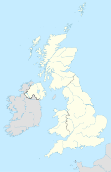
Beeston and Stapleford was in the years 1935 - 1974 an urban district within Nottinghamshire in central England on the western outskirts of Nottingham . The administrative unit was created as part of a reform of the Shire by a so-called County Review Order. Beeston previously belonged to an urban district itself, to which the entire rural district of Stapleford was added, which consisted of the parishes of Bramcote, Chilwell, Stapleford and Toton. In 1974 Beeston and Stapleford was finally incorporated into the Borough of Broxtowe . About 68,000 people live in Beeston and Stapleford today.
