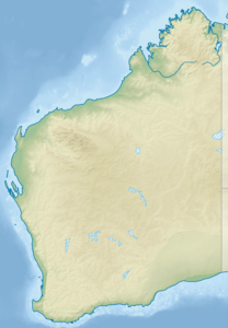
Bernier Island
| Bernier Island | ||
|---|---|---|
| Location of Bernier Island in Shark Bay | ||
| Waters | Indian Ocean | |
| Geographical location | 24 ° 52 ′ S , 113 ° 8 ′ E | |
|
|
||
| length | 26 km | |
| width | 2.6 km | |
| surface | 45 km² | |
| Highest elevation | 37 m | |
| Residents | uninhabited | |
Bernier Island is an elongated island off the west coast of Australia .
geography
The island, located about 50 kilometers west of the city of Carnarvon , is 45 km² in size and separated from the adjoining Dorre Island to the south by a four meter deep and 500 meter wide sound . Tiny Koks Island is 400 m north .
The island is part of the Bernier and Dorre Island Nature Reserve in Shark Bay in Western Australia .
history
Bernier Island and Dorre Island were discovered by the Dutch navigator Dirk Hartog at the beginning of the 17th century . In 1801, the French astronomer Pierre-François Bernier visited the island named after him. Bernier reports that the island would not be suitable for permanent settlement due to, among other things, a lack of fresh water.
At the beginning of the 19th century, a medical isolation ward was built on the island. The islands are uninhabited today, but home to some of the last specimens of the banded hare kangaroo ( Lagostrophus fasciatus ).
Web links
- Historical use of the island (Engl.)


